Geophysical Survey's


When you choose Hydrogeo Expert, you can rely on precise groundwater analysis and customized water management plans designed specifically to address your unique needs, ensuring you have the most effective solution for your water resource challenges.
Key points about Hydrogeo Expert:
Accurate Groundwater Analysis:
They provide thorough testing of your groundwater to identify contaminants and assess water quality with high precision.
Tailored Water Management Solutions:
Based on your specific needs and site conditions, Hydrogeo Expert will develop a customized plan for water extraction, treatment, and conservation.
Expertise in Hydrogeology:
Their team of experienced hydrogeologists ensures a deep understanding of groundwater dynamics to create optimal water management strategies.
Reliable and Trustworthy:
You can depend on Hydrogeo Expert to deliver accurate data and reliable recommendations for your water needs.
Potential situations where Hydrogeo Expert could be valuable:
Industrial water supply:
Assessing groundwater quality for industrial processes and designing water treatment systems.
Residential water wells:
Investigating potential contaminants in private wells and proposing solutions for safe drinking water.
Agricultural irrigation:
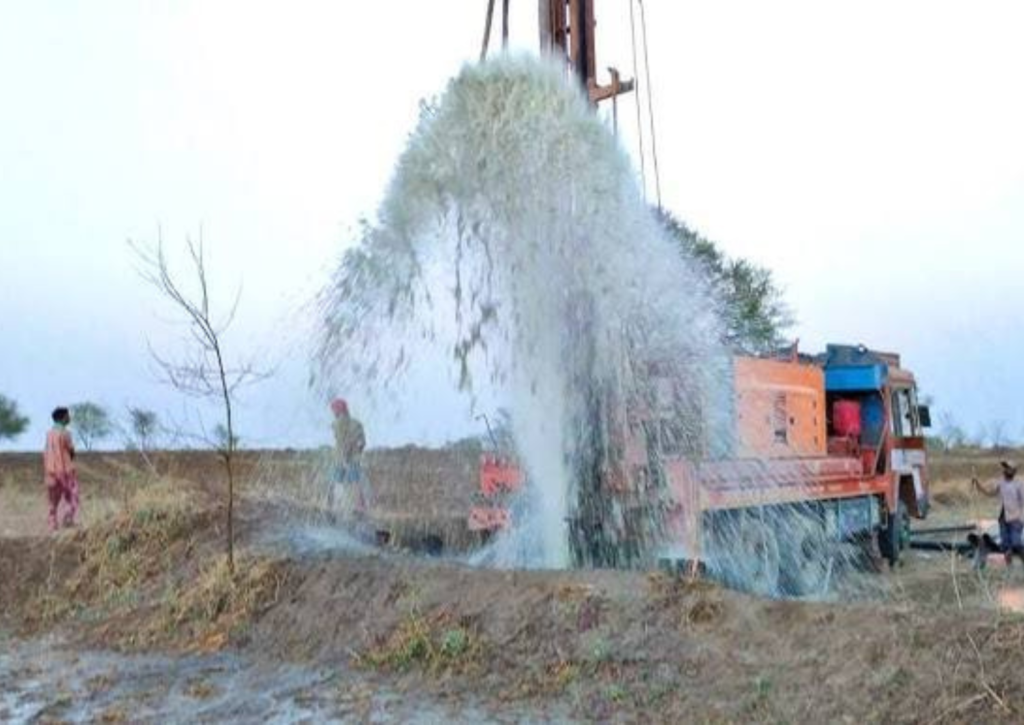
Optimizing groundwater usage for irrigation based on aquifer conditions and crop needs.
Environmental monitoring:
Monitoring groundwater quality to identify potential contamination issues and protect water resources.
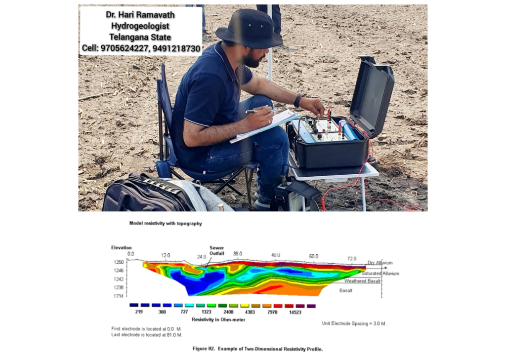
A Geophysical Survey is a method used to study the physical properties of the Earth’s subsurface by measuring variations in its physical attributes, such as magnetic, gravitational, electrical, or seismic activity. These surveys are crucial in industries like mining, oil and gas exploration, archaeology, and environmental studies, as they help locate and identify natural resources and geological features.
Important Points about Geophysical Surveys:
Non-invasive Technique: Geophysical surveys are non-destructive, meaning they do not disturb the ground, making them ideal for sensitive sites like archaeological digs or environmental assessments.
Variety of Methods: Different methods, such as seismic, magnetic, electrical resistivity, and gravity surveys, are used depending on the goals and the characteristics of the study area.
Wide Range of Applications: These surveys are commonly used in natural resource exploration (oil, gas, minerals), groundwater detection, civil engineering projects, and environmental assessments.
Seismic Surveys: Seismic methods are commonly used to explore the Earth’s subsurface by sending shock waves into the ground and analyzing how they bounce back to detect underground structures.
- Magnetic Surveys: These are used to detect magnetic anomalies in the Earth’s crust, often employed in mineral exploration or mapping fault lines.
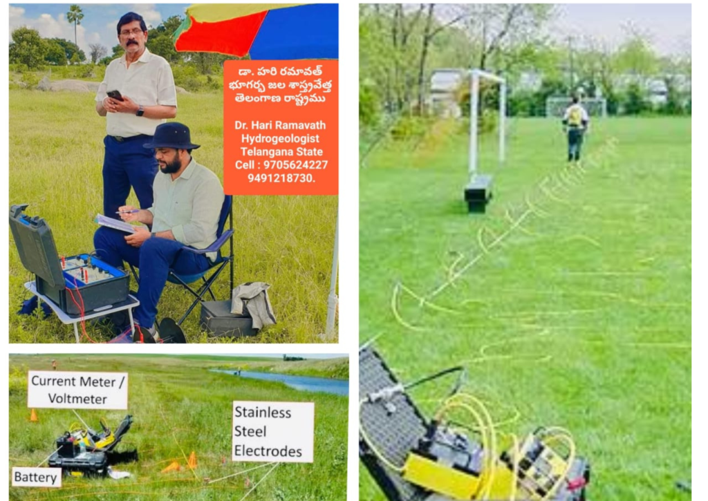
Electrical Resistivity: Measures the electrical resistance of subsurface materials to map variations in the subsurface, useful for groundwater surveys and soil contamination studies.
Cost-effective: Compared to other exploration techniques like drilling, geophysical surveys are more affordable and can cover large areas quickly.
Data Interpretation: The data collected from geophysical surveys must be interpreted by experts who use advanced software to create maps and models of the subsurface.
Remote Sensing: Some geophysical methods, like aerial magnetic surveys, can be conducted from planes or drones, allowing surveys over large and hard-to-reach areas.
Key for Environmental and Engineering Projects: Geophysical surveys are vital for assessing subsurface conditions before constructing infrastructure like tunnels, dams, and bridges, helping prevent costly mistakes.
