Geological Mapping and Interpretation


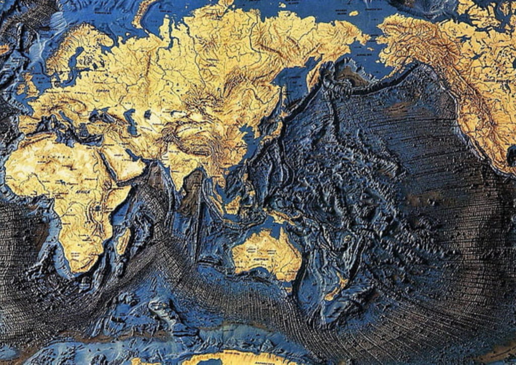
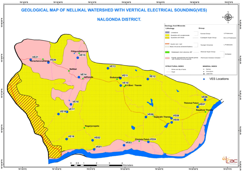
Geological Mapping and Interpretation involves creating detailed maps that illustrate the distribution, nature, and relationship of rock units, structural features, and other geological elements on the Earth’s surface. It is fundamental for understanding the Earth’s subsurface features, aiding in natural resource exploration, environmental assessment, and infrastructure development.
Ten Important Points about Geological Mapping and Interpretation:
Foundation of Earth Sciences: Geological mapping forms the basis for understanding Earth’s geological history, helping scientists to reconstruct past environments and tectonic movements.
Identification of Rock Types: Through geological mapping, geologists classify different types of rocks, such as igneous, sedimentary, and metamorphic, in a specific area.
Structural Features: Mapping reveals faults, folds, and other structural deformations, which are critical for understanding tectonic processes and assessing earthquake risks.
Resource Exploration: It is essential for identifying potential sites for mineral, oil, gas, and groundwater extraction, guiding exploration activities by highlighting areas of interest.
Environmental and Land Use Planning: Geological maps help assess geological hazards (like landslides and floods) and are used in urban planning to avoid unstable ground for construction.
Fieldwork and Data Collection: Geologists gather field data by visiting sites, taking rock samples, measuring geological structures, and documenting the observed features.
Integration with Geophysical Data: Geological mapping is often combined with geophysical survey data to give a more complete understanding of subsurface features.
Scale of Maps: Maps can be created at various scales, from regional maps (showing large geological structures) to more detailed maps for specific projects, such as mining or infrastructure development.
Geological Interpretation: This involves analyzing the map data to infer the geological processes and history of the area, often using advanced software to model the subsurface.
Key to Sustainable Development: Geological mapping is critical for managing natural resources sustainably, ensuring that extraction and development are done responsibly and with minimal environmental impact.
